
Información de la convocatoria
ENROLL
 MODALITY
Online
COURSE OBJECTIVES
-Understand the functioning of the GIS program.
-Know the Spatial Data Infrastructures and their use in GIS.
-Correctly manage different types of layers.
-Be able to generate external data and integrate them properly into the GIS.
-Master the concepts and tools of the GIS program that allow carrying out the analyses.
-Elaboration of cartography and quality presentations.
-Encourage the use of technologies based on "public licenses" in those works related to the scientific production and preservation of heritage.
COURSE PROGRAM
Block 1 Principles of cartography and geographic information.
-Definition of GIS, the different types of geographic data, advantages and disadvantages of their use.
-Geodetic principles and reference systems.
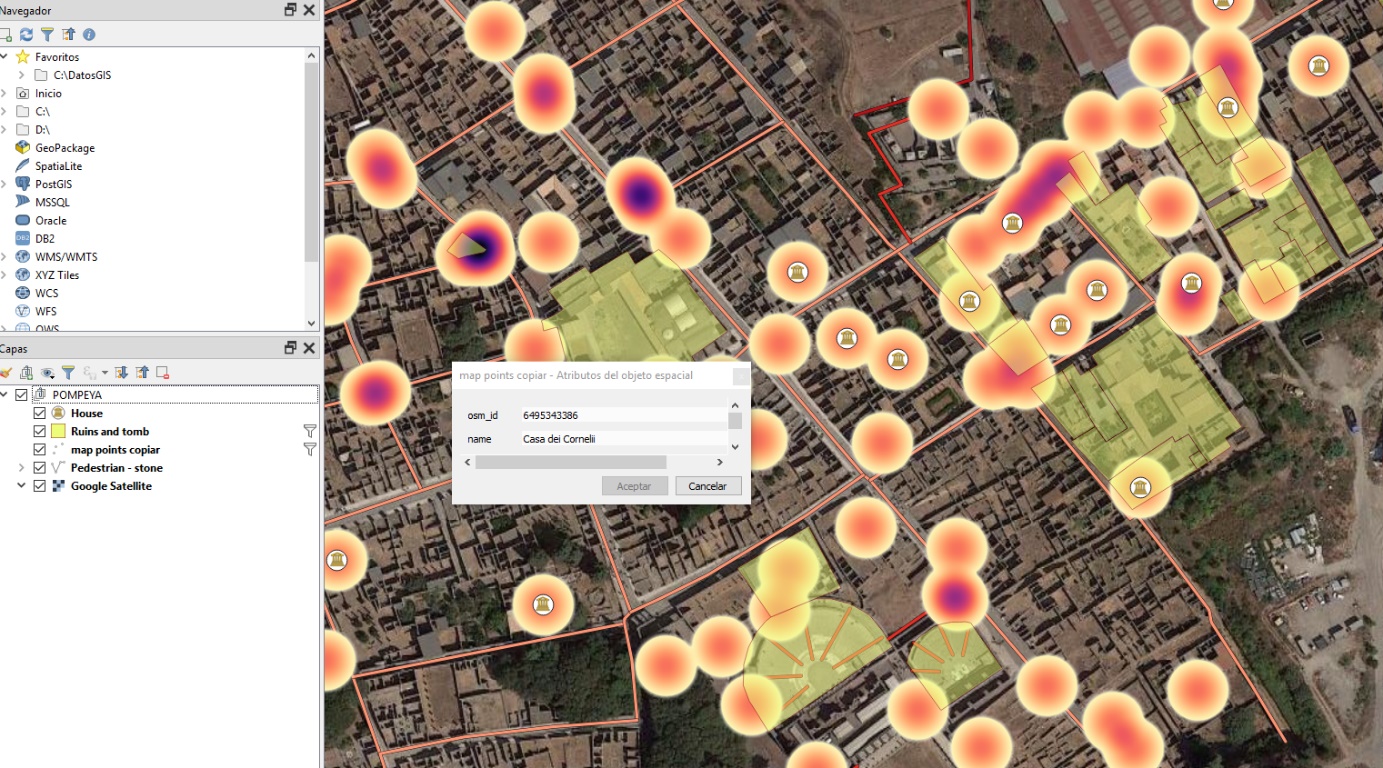
-Types of GIS software and why we use the free and Open Source Software QGIS for cartographic documentation.
-The QGIS Desktop interface.
-Create a project in QGIS and add vector and raster layers.
-Organize the information in QGIS.
-The interoperability of QGIS and its ability to add more resources to our projects.
Block 2 Fundamentals of GIS and visualization of cartography
-The attribute table.
-How to join tables.
-Georeferencing archaeological information.
-Digitization of archaeological information.
-The symbology of the data in QGIS.
-The presentation of results in archaeological cartography.
Block 3 Introduction to Vector Analysis and elaboration of DTM.
-Geoprocesses.
-Consultation of archaeological data.
-Phases of a project of archaeological analysis of the territory by means of QGIS.
-Digital terrain modeling (DTM) and digital elevation model (DEM).
-How to join, cut and reproject our DTM files.
Block 4 Introduction to Raster Analysis.
-The fundamentals of Raster Analysis, map algebra.
-Introduction to Grass and its use in Raster analysis.
-Calculation of optimal routes between sites.
-Obtaining visibility models from a site.
BRIEF EXPLANATION
In this course students will be introduced at the knowledge of Geographic Information Systems (GIS) through the use of QGIS software and its application to the field of archaeology. The knowledge of the different spatial data models used in GIS, the raster model and the vector model will be dealt with. In addition, they will learn to manage the data in a suitable way in order to introduce them, modify them, transform them and carry out queries, using the appropriate QGIS tools in each process according to the needs of archaeological analysis. The course will close with the acquisition of the necessary skills to present the results through the elaboration of cartography.
FACULTY
Director of the Course: Iván Díaz San Millán.
Presenter:
- Víctor Manuel Mier Canoura, Master UNIGIS en Gestión de SIG
- Luis Campos Paulo, Máster en Arqueología Medieval (UNL)
- Iván Díaz San Millán, Máster en Arqueología y Prehistoria (UC).
CALENDAR
I edition: from October 8 to 27, 2019.FINALIZED-
II edition: From April 21 to May 10, 2020
DURATION
30 hours.
PRICE
- Ordinary registration fee: 115 €. Interested persons.
- Reduced registration fee: 105 €. Members of the UBU university community.